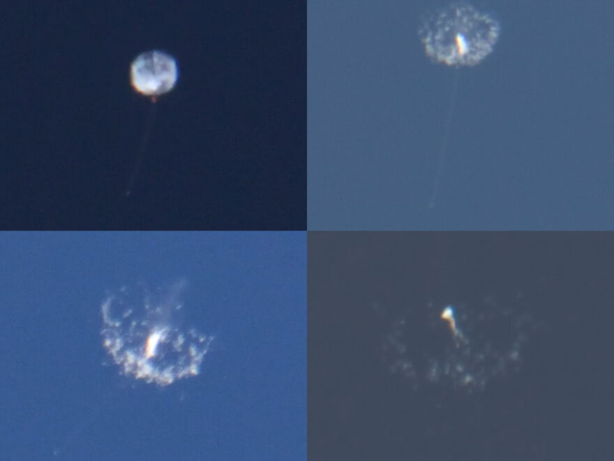
Thanks to a favorable weather pattern last week, I was able to capture telescopic views of four weather balloon bursts on consecutive nights.
27 June at 8:59pm
Altitude: 111,660 feet
Location: 32.80032,-84.35889 (near Pobiddy Road and Roland Road in western Upson County)
Range/elevation: 38 miles/34°
Notes: During the burst the string snares a piece of the balloon about two-thirds of the way down to the radiosonde.
28 June at 8:45pm
Altitude: 106,480 feet
location: 32.90884,-84.50568 (near Pleasant Valley Road and Flint Bridge Road in western Upson County)
Range/elevation: 34 miles/36°
Notes: All of these videos have been image stabilized in post-production. During the recording I almost lost track of this one off the bottom of the screen.
29 June at 8:57pm
Altitude: 111,119 feet
Location: 33.03784,-84.71728 (over Greenville in Meriwether County)
Range/elevation: 35 miles/37°
Notes: This one sheds a very large piece of the balloon during the descent.
30 June at 8:52pm
Altitude: 110,413 feet
Location: 32.96328,-84.73876 (near Ogletree Road and Old Durand Road in southern Meriwether County)
Range/elevation: 31 miles/43°
Notes: I usually start recording as the balloon passes 98,000 feet. But this night some thunderstorms had just passed by leaving some high cloud cover in their wake. This prevented me from spotting the balloon with the binoculars until it was passing 106,000 feet. I finally started tracking and recording with the telescope as it was passing 108,500 feet, a mere 1 minute 24 seconds before burst.
Update: I was able to recover this one! See my radiosonde recovery #19.

