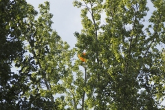
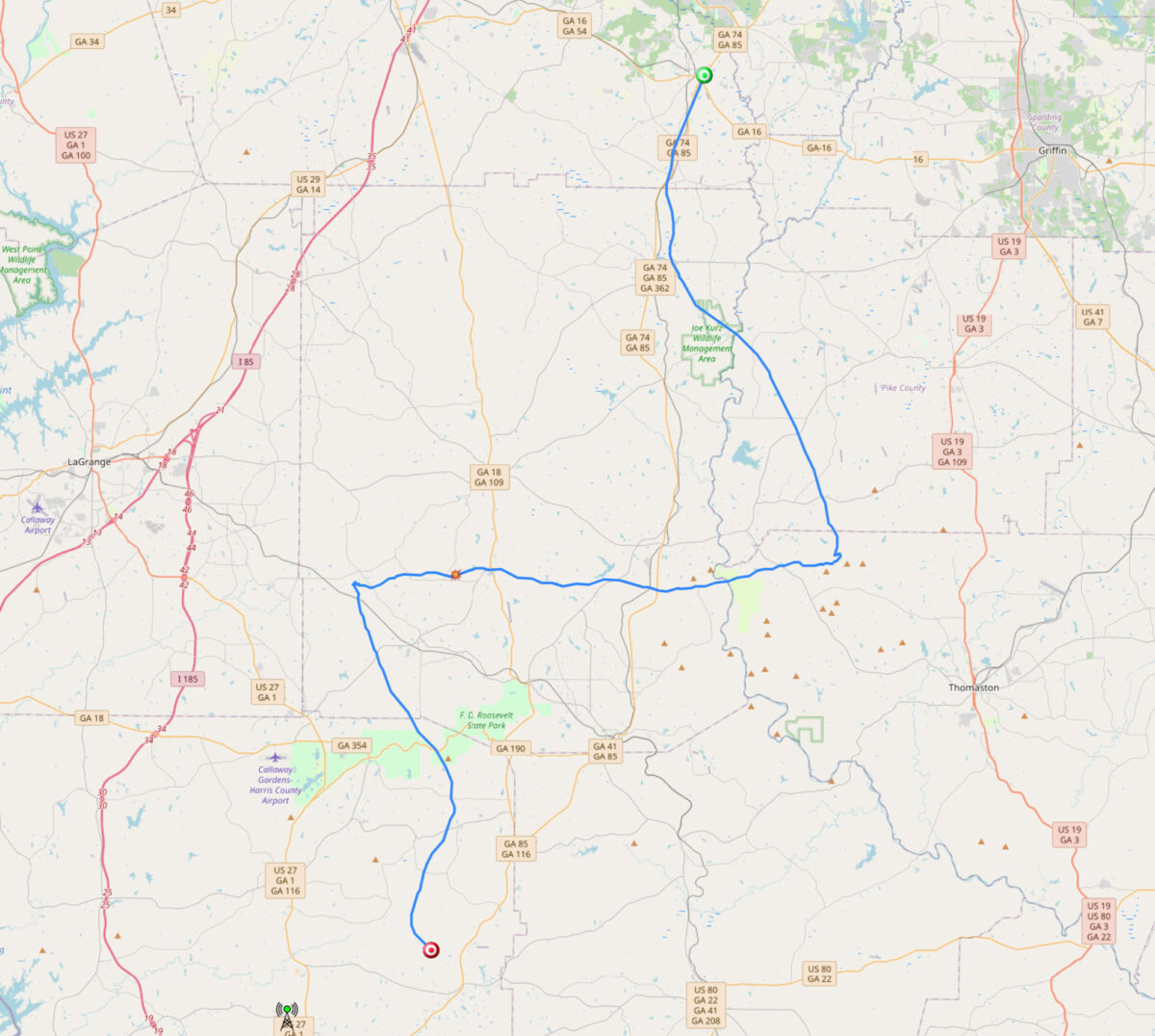
This is a log of all the radiosondes I have tracked to landing within a 20 mile radius of central Harris County. The green (✔) represent recoveries, red (✖) are unrecoverable, and orange (?) I have not attempted to recover.
Locally the most common source of radiosondes are the NWS Atlanta (Peachtree City) and NWS Birmingham offices, both of whom use the Graw DFM-17. NWS Atlanta radiosondes primarily land in the late spring, summer and early fall. NWS Birmingham radiosondes land in fall, winter, and spring when the jet stream dips into the southern United States.
Recovery #12
Type: Graw DFM-17
Serial: 22045351
Launch Site: NWS Birmingham
Launch Date & Time: 18 January 2023 00:00Z
Recovery Date: 22 January 2023
Recovery Location: Marshall Williams Road, Harris County
Recovery Coordinates: 32.848090° -85.095540°
Balloon Weight: 390 grams
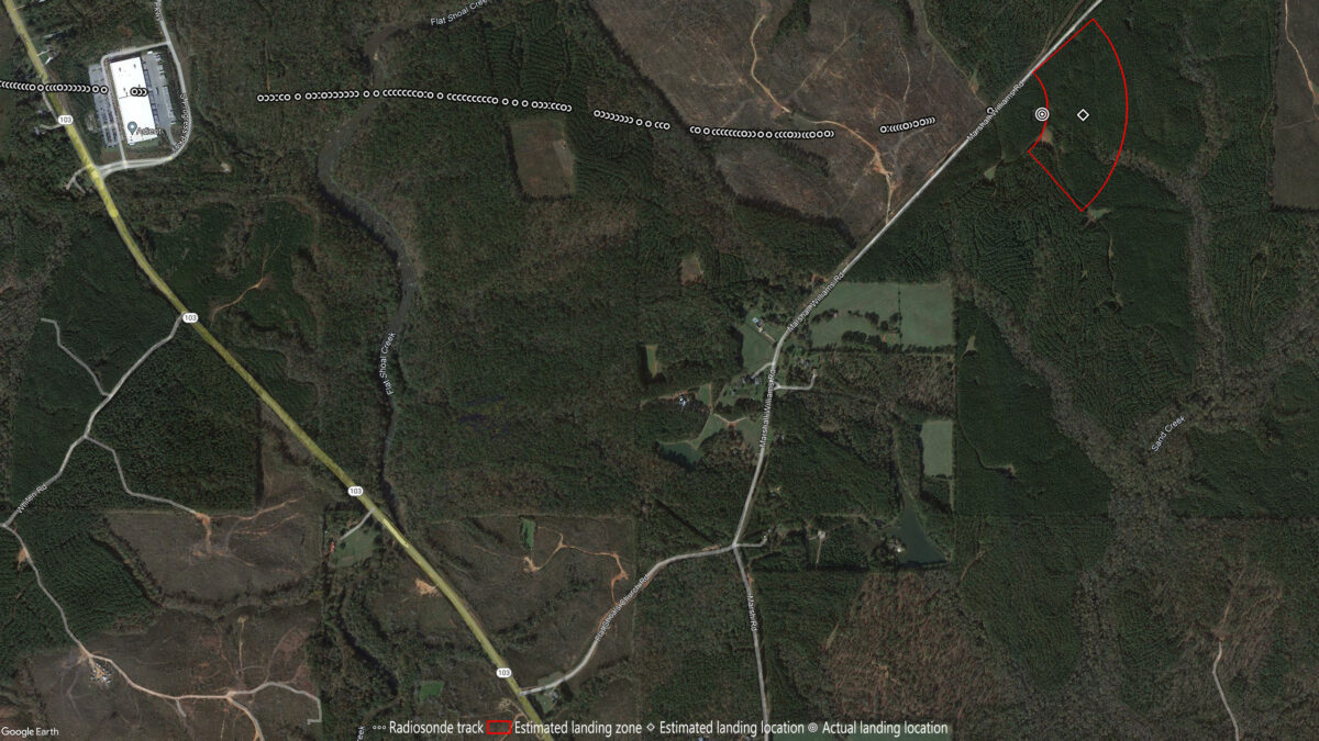
This was an easy recovery from a wooded area. Located with the drone after a 15-minute search. Radiosonde was on the ground while the balloon and parachute were hung up in a pine tree. A moderate tug brought them down.
Recovery #13
Type: Graw DFM-17
Serial: 22052264
Launch Site: NWS Birmingham
Launch Date & Time: 14 February 2023 00:00Z
Recovery Date: 19 February 2023
Recovery Location: Central Church Road, Harris County
Recovery Coordinates: 32.619153° -84.805436°
Balloon Weight: 198 grams
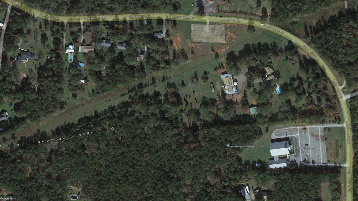
This one landed on private property just 4.7 miles from my home. I was able to track it almost all the way to the ground. Finding it with the drone was easy which allowed me to get the exact location. Reviewing the footage at home I saw the radiosonde was on the ground so I contacted the property owner and received permission to recover.
Recovery #14
Type: Graw DFM-17
Serial: 22055912
Launch Site: NWS Birmingham
Launch Date & Time: 07 March 2023 12:00Z
Recovery Date: 07 March 2023
Recovery Location: Marshall Williams Road, Troup County
Recovery Coordinates: 32.871398° -85.066039°
Balloon Weight: 308 grams

This was one of the few times the actual landing location was well outside of my estimated landing zone. The telemetry showed the horizontal velocity was decreasing in the final minutes of flight and I tried to compensate for that but it wasn’t enough. Fortunately I spotted the parachute from the road which made for a quick locate. The drone was not needed for this one.
I wasn’t sure this was going to be a successful recovery. These pull downs by the parachute and balloon tend to go bad because the radiosonde gets caught in branches resulting in a broken string. It has happened to me several times. But this one held together despite a fairly aggressive pull. The styrofoam case did take quite a beating though.
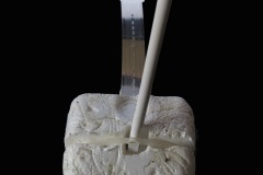
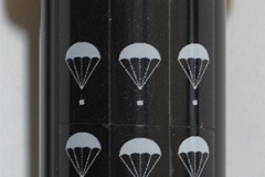
This also marks the seventh assist by my 30-foot extension pole. Besides the drone this is my most useful tool so it is only fitting that it gets adorned with a victory mark for every recovery.
Recovery #15
Type: Graw DFM-17
Serial: 22053520
Launch Site: NWS Birmingham
Launch Date & Time: 30 March 2023 18:00Z
Recovery Date: 30 March 2023
Recovery Location: Ellerslie Place Subdivision
Recovery Coordinates: 32.635240° -84.761560°
Balloon Weight: 340 grams
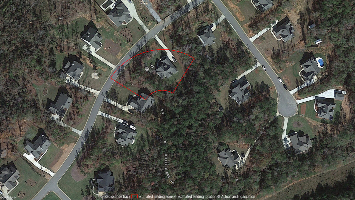
I was able to see this one with binoculars as it passed over my house at 20,000 feet (it was invisible to the naked eye). It would land 23 minutes later just 6.7 miles away. When I arrived in the area 1 hour 20 minutes after landing the radiosonde was still transmitting. I did not see it on the initial drive by but when I turned around I saw it straight away. You can’t see it in the photo but the string was caught in the top of the tree. It took quite a pull to get the tree to release its capture.
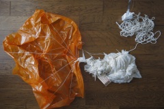
Many of the balloons I recover are entagled with the parachute and this one was no exception. The balloon was wrappped around the double strung string that connects the balloon and parachute, one of the parachute risers, and the string that connects the parachute to the radiosonde.
Recovery #16
Type: Graw DFM-17
Serial: 22054454
Launch Site: NWS Birmingham
Launch Date & Time: 10 March 2023 23:00Z
Recovery Date: 7 April 2023
Recovery Location: Blanton Creek WMA
Recovery Coordinates: 32.764048° -85.111403°
Balloon Weight: 378 grams
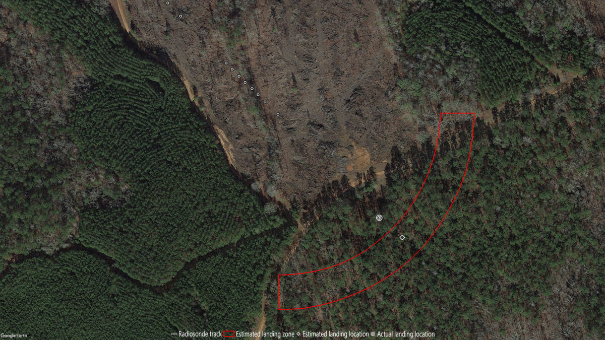
I had to wait nearly a month for the Blanton Creek Wildlife Management Area to open for turkey season before I could recover this one. I spotted it from the road about 110 feet short of my estimated landing location. The balloon and parachute were caught low on the trunk of a pine tree with the radiosonde out of sight in the top of another pine. As I mentioned in recovery #14 these type of pull downs can be tricky. The string was already frayed by the pine tree and I thought it was going to break at that point. Instead it broke high in the tree which allowed the radiosonde to fall thru the branches to the ground. In the slo-mo you can see it gets caught momentarily in some branches before falling to the ground three seconds after the string breaks.
On 22 March another balloon from NWS Birmingham landed in the WMA less than 1 mile southeast of the first one. This one was also close to a road so I attempted another recovery the same evening.
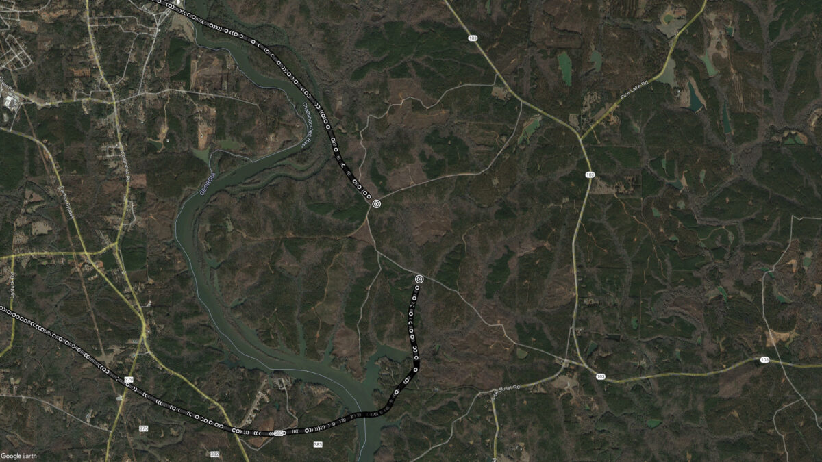
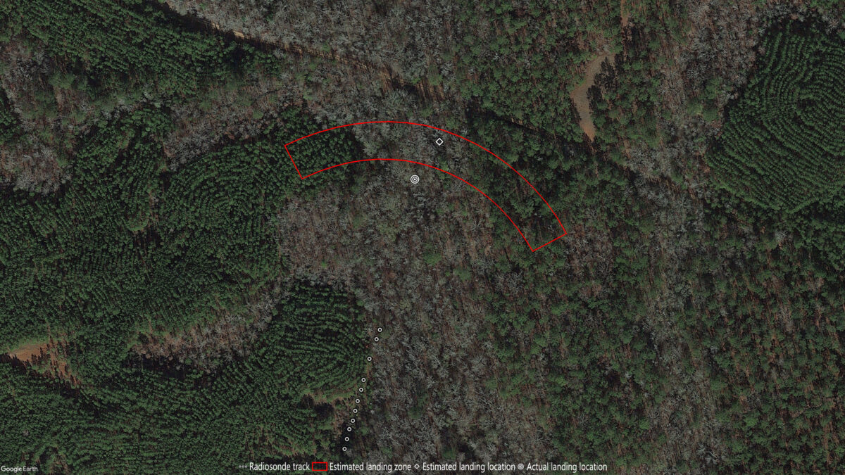
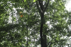
My estimated landing location was at the edge of a clearcut area but when I arrived at that location I could not find the balloon. It would take about twelve minutes of searching before I finally spotted it high in a tree about 115 feet from my estimate (reviewing my camera footage it was visible about two minutes into the search but I failed to see it). Recovery of this one is not currently possible because it is about 10 feet above the reach of my 30-foot extension pole. I may check on this one again in a few months to see if it is any closer to the ground.
Unlike previous searches I did not fly the drone this time. That is because they are prohibited in a WMA by the Wilderness Act of 1964 (drones are covered by the prohibition of mororized equipment, mechanical transport, and landing of aircraft).
Following the leave no trace philosophy I did carry out that Diet Pepsi can.
Recovery #17
Type: Graw DFM-17
Serial: 23015512
Launch Site: NWS Atlanta
Launch Date & Time: 14 May 2023 11:00Z
Recovery Date: 14 May 2023
Recovery Location: private lane near Waverly Hall
Recovery Coordinates: 32.687285° -84.679384°
Balloon Weight: n/a
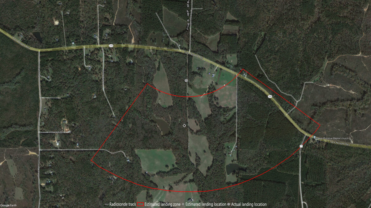
This one had some strong batteries! The last position report I received put the radiosonde about 0.75 miles south of the Strongpoint Shooting Range near Waverly Hall. I didn’t get to the landing area until nearly 3.5 hours later or 6.5 hours after launch. The radiosonde was still transmitting so I was able to get an accurate fix nearly 0.5 miles south of that last position. I then went back home to look up the land owner whom I then called for permission to recover.
I found the radiosonde hanging about 30-feet above a small stream right next to a private lane. I was able to snag it with the extension pole and slowly pull it in where I found it was still on but in an error state. This was now 10 hours after launch and those CR123A batteries were still powering the circuit board.
The parachute seemed to be coming along nicely until it got snagged in the top of a tree. There was nothing I could do except keep pulling until the string finally broke. From the looks of it there wasn’t much left of the balloon except the neck.
Recovery #18
Type: Graw DFM-17
Serial: 23011719
Launch Site: NWS Birmingham
Launch Date & Time: 13 June 2023 23:00Z
Recovery Date: 16 June 2023
Recovery Location: Lower Blue Springs Road, Harris County
Recovery Coordinates: 32.715360° -84.949862°
Balloon Weight: 406 grams
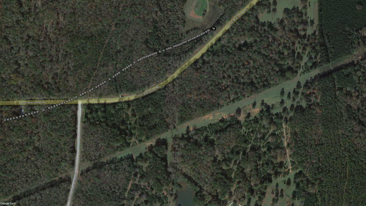
The night this landed I drove to the area to get an exact GPS location before the radiosonde batteries died. Then I had to wait a couple days for a stormy weather system to clear the area.
The GPS altitude indicated the radiosonde might be above ground so I flew the drone first to make sure I could reach it. When I located the parachute and balloon I expected the radiosonde would be to the right as I had seen from the drone, but a tug test revealed it was actually to the left.
Without my Extend-A-Reach pole I never would have recovered the radiosonde. It was about 20 feet off the ground and after pulling it down and cutting the string I found the remaining string could not be pulled down. After several good pulls the string broke. This is why I always try to pull the radiosonde down first.
Recovery #19
Type: Graw DFM-17
Serial: 20032783
Launch Site: NWS Atlanta
Launch Date & Time: 30 June 2023 23:00Z
Recovery Date: 05 July 2023
Recovery Location: Jordan Road, Waverly Hall
Recovery Coordinates: 32.710330° -84.760970°
Balloon Weight: 370 grams
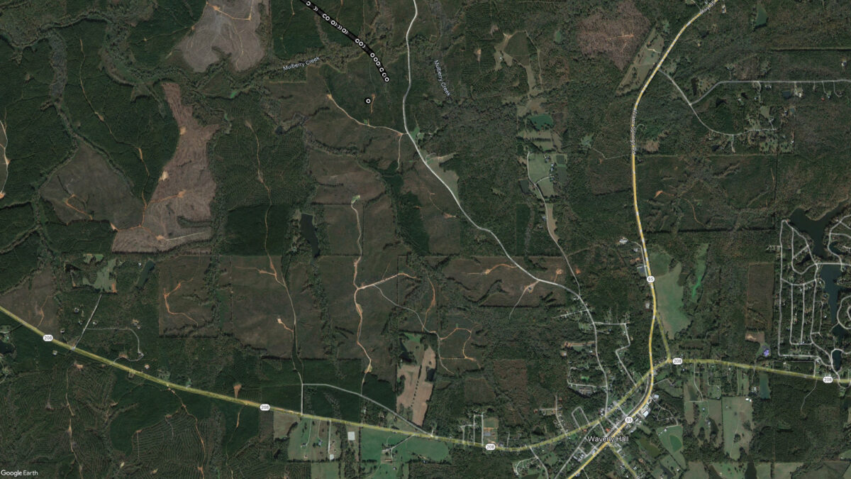
This one landed in a forestry managment area full of pine trees. Due to their young age there was heavy undergrowth which made it very difficult to reach the landing spot. But once there the balloon, parachute, and radiosonde were very easy to recover.
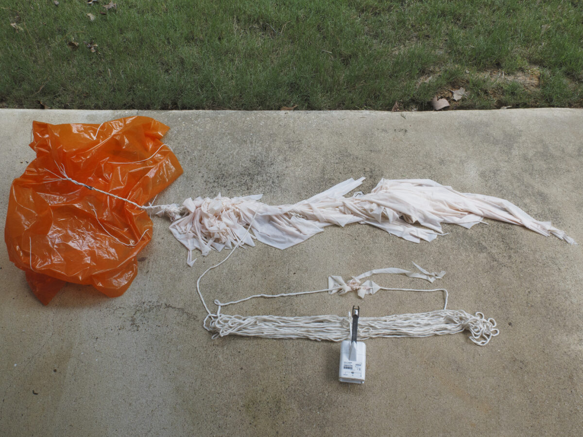
This was also the first time I have recovered a balloon that I was able to record bursting from my backyard. The burst occured at 08:52pm to the northwest of Warm Springs at an altitude of 110,415 feet. In the burst video you can see the parachute and balloon spiraling down. Thanks to the recovery you can see why – the balloon wraped around all of the parachute risers. You can also see a piece of balloon caught on the string, that piece was still there at recovery.
Recovery #20
Type: Graw DFM-17
Serial: 23019920
Launch Site: NWS Atlanta
Launch Date & Time: 31 July 2023 11:00Z
Recovery Date: 31 July 2023
Recovery Location: Lot 82, Mulberry Crossing Dr, Cataula
Recovery Coordinates: 32.675860° -84.952770°
Balloon Weight: 244 grams
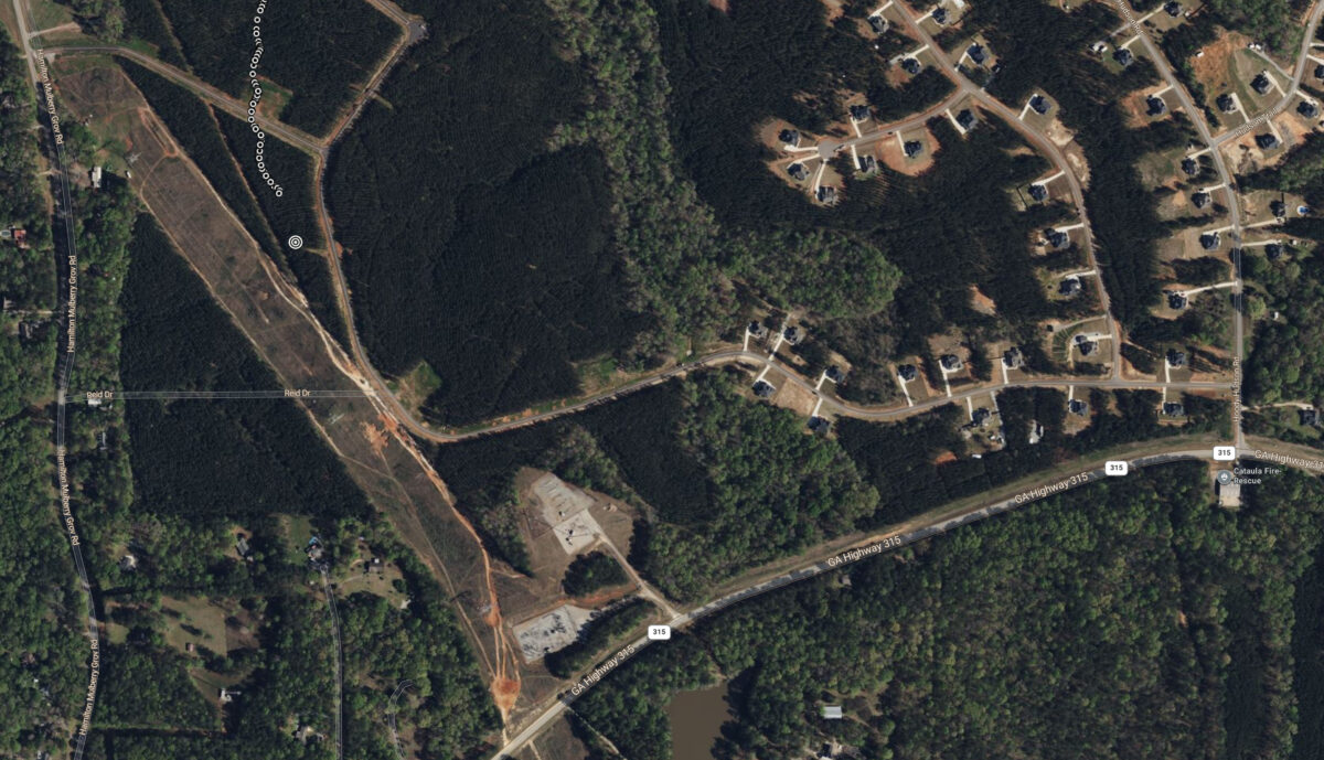
I’ve thought about trying to recover a radiosonde with my drone but was hesitant because of the risks involved, namely becoming entagled during flight and not being able to break free resulting in the loss of the drone. But this radiosonde presented a couple unique opportunities. First, I had recently decided to retire my 7.5-year old Phantom 4 Pro drone. I replaced it with a DJI Air 3 so now I had a spare drone. Second, the string was lightly draped across the tree tops and it was suspended over a small clearing, the perfect placement for a drone recovery. So I decided to initiate operation DARR (Drone Assisted Radiosonde Recovery).
My plan was to snag the string with a long hook hanging from the bottom of the P4P and then attempt to lift the string and radiosonde from the tree tops. To alleviate entaglement concerns the hook was simply hanging from a piece of string tied between the legs of the P4P. My thinking was if I became entangled I could try to back down and away from the hook.
DARR got underway at 6:43pm and I quickly encountered a slight issue – the setting sun was casting a glare on the P4P’s camera. I had oriented myself so that I would not have to deal with control reversal in the event of an emergency but the glare meant I had no choice but to pop up and over the string and approach from the opposite direction. One problem with that – I did not extend far enough downrange and this is where things went south. As I descended I watched the video downlink for the string. I saw it go by but it was much closer than I anticipated so I stopped my descent. At this point I started to look back up.
I have seen several helicopter crash videos so I know the sound a rotor makes when it beats something into submission other than air. That is the sound I heard as I was lifting my head. There was nothing I could do except watch the event unfold.
Now I really wasn’t expecting DARR to be a success so I had my extension pole as a backup. Using it I was able to pull down the drone along with the balloon and parachute. I was expecting the radiosonde to be stuck in the tree tops but surprisingly I was able to pull it down as well. Despite all the carnage the drone survived unscatched except for a slight greenish tinge from the mulched leaves. A post-crash test flight with new props showed no trouble.
Lesson learned – radiosonde recovery by drone is probably not a good idea. The rotor downwash is going to blow things all over the place and if the string happens to end up above the rotors it is going to get sucked in.

