This is a log of all the radiosondes I have tracked to landing within a 20 mile radius of central Harris County. The green (✔) represent recoveries, red (✖) are unrecoverable, and orange (?) I have not attempted to recover.
Locally the most common source of radiosondes are the NWS Atlanta (Peachtree City) and NWS Birmingham offices, both of whom use the Graw DFM-17. NWS Atlanta radiosondes primarily land in the late spring, summer and early fall. NWS Birmingham radiosondes land in fall, winter, and spring when the jet stream dips into the southern United States.
Recovery #21
Type: Graw DFM-17
Serial: 23046808
Launch Site: NWS Birmingham
Launch Date & Time: 29 January 2024 12:00Z
Recovery Date: 29 January 2024
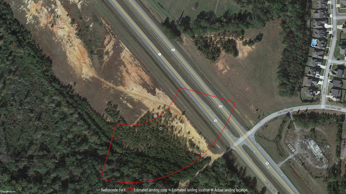
Recovery Location: west of US 280 & Lee Road 456, Smiths Station, AL
Recovery Coordinates:  32.520151° -85.068719°
Balloon Weight: 320 grams

Easy recovery from a young grove of pine trees.
Recovery #22
Type: Graw DFM-17
Serial: 24000627
Launch Site: NWS Atlanta
Launch Date & Time: 23 June 2024 12:00Z
Recovery Date: 23 June 2024
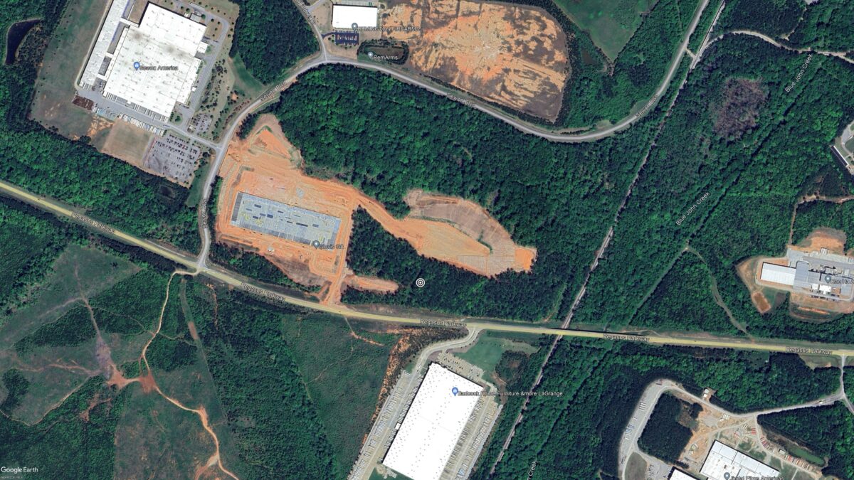
Recovery Location: Pegasus Pkwy, LaGrange, GA
Recovery Coordinates:  32.99092° -85.06491°
Balloon Weight: N/A

This one was just ouside my self imposed 20-mile recovery zone, but I wanted to get a look at the parachute because the descent rate was greater than 2000 feet/min (24+ mph) all the way to the ground. I arrived onsite a little over 5 hours after it landed to find the radiosonde still transmitting. After entering the coordinates into my GPS receiver I headed off into the woods where I quickly found the radiosonde hanging from a tree. I had to use every inch of my 30-foot extension pole to pull it down. Unfortunately the string broke when pulling down the parachute. It looked OK from the ground.
